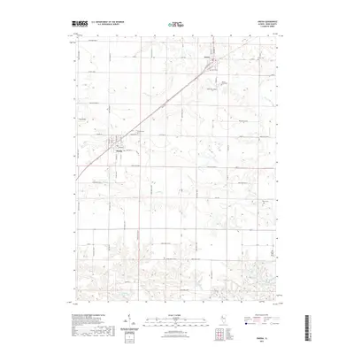
2021 Map of Oneida
USGS Topo · Published 2021About this map
The agrarian landscape of Knox County is anchored by the village of Oneida and the town of Altona, both established along the industrial corridor of the BNSF Railway. This prairie terrain is defined by a dense network of sectional roads and the winding paths of Walnut Cr and Forman Cr. A notable concentration of burial grounds, including the Old Scotch Cem and Walnut Grove Cem, provides significant points of interest for those researching local family history and early settlement patterns. To the south, the topography transitions from flat farmland to the more varied drainage basins surrounding Fishhook Lake and Roundhouse Lake. The lone elevation of Pilot Knob stands as a prominent landmark in the western portion of the quadrangle, overlooking the headwaters of Pilot Cr.
Find a feature on this map
71 named features on this map. Tap any name to fly to it.
Don’t see what you’re looking for? This feature index may not catch every label — zoom into the map to look around manually.
Map Details
Editions of this 2021 Oneida Map
This is the sole edition of this map. No revisions or reprints were ever made.
Other maps of this area
1925 · Galesburg
USGS Topo · 1:62,500
1927 · Galesburg
USGS Topo · 1:62,500
1931 · Galva
USGS Topo · 1:48,000
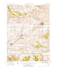
1940 · Galva
USGS Topo · 1:62,500
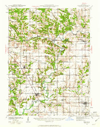
1941 · Maquon
USGS Topo · 1:62,500
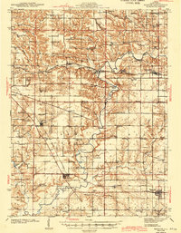
1943 · Maquon
USGS Topo · 1:62,500
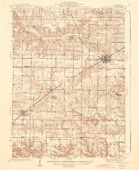
1944 · Galva
USGS Topo · 1:62,500
1947 · Woodhull
USGS Topo · 1:62,500
1953 · Nekoma
USGS Topo · 1:24,000
1953 · Woodhull
USGS Topo · 1:24,000