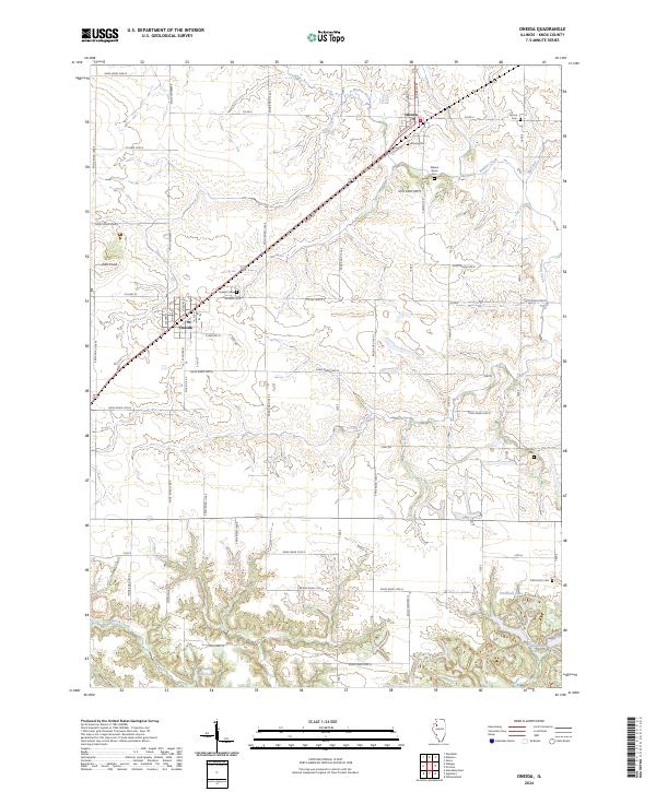
2024 Map of Oneida
USGS Topo · Published 2024About this map
Altona and Oneida anchor this agricultural landscape in Knox County, bisected by the diagonal corridor of the BNSF Railway. The terrain is defined by the drainage networks of Walnut Creek and Pilot Creek, which carve gentle valleys through the prairie. Genealogists will find a high concentration of burial sites scattered across the township, including the Altona Cem, Oneida Cem, and the more secluded Old Scotch Cem and Larson Cem.
Find a feature on this map
67 named features on this map. Tap any name to fly to it.
Don’t see what you’re looking for? This feature index may not catch every label — zoom into the map to look around manually.
Map Details
Editions of this 2024 Oneida Map
This is the sole edition of this map. No revisions or reprints were ever made.
Other maps of this area

1925 · Galesburg
USGS Topo · 1:62,500

1927 · Galesburg
USGS Topo · 1:62,500

1931 · Galva
USGS Topo · 1:48,000

1940 · Galva
USGS Topo · 1:62,500

1941 · Maquon
USGS Topo · 1:62,500

1943 · Maquon
USGS Topo · 1:62,500

1944 · Galva
USGS Topo · 1:62,500

1947 · Woodhull
USGS Topo · 1:62,500

1953 · Nekoma
USGS Topo · 1:24,000

1953 · Woodhull
USGS Topo · 1:24,000