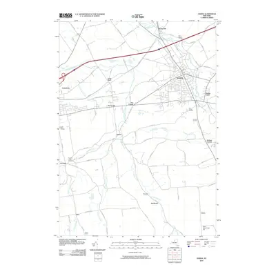
2010 Map of Oneida
USGS Topo · Published 2010About this map
Oneida sits at the heart of a landscape defined by the historic transport corridors of Central New York, including the path of the former Erie Canal near Lenox Basin and Durhamville. This 2010 survey shows the modern evolution of these old canal-side settlements and the surrounding village of Wampsville. The terrain is marked by significant hydrological features like Oneida Creek and Cowaselon Creek, which influenced early power and settlement patterns. Genealogists will find a high density of burial sites throughout the quadrangle, from the large Glenwood Cemetery and Saint Patricks Cemetery near the city center to the Clockville Rural Cemetery further south. The southern reaches of the map climb toward West Hill and West Stockbridge Hill, where the transition from river valley to upland topography is punctuated by Buttermilk Falls near Lenox.
Find a feature on this map
77 named features on this map. Tap any name to fly to it.
Don’t see what you’re looking for? This feature index may not catch every label — zoom into the map to look around manually.
Map Details
Editions of this 2010 Oneida Map
This is the sole edition of this map. No revisions or reprints were ever made.
Other maps of this area

1895 · Chittenango
USGS Topo · 1:62,500

1895 · Oneida
USGS Topo · 1:62,500

1897 · Cazenovia
USGS Topo · 1:62,500

1898 · Oneida
USGS Topo · 1:62,500

1898 · Chittenango
USGS Topo · 1:62,500

1899 · Cazenovia
USGS Topo · 1:62,500

1902 · Chittenango
USGS Topo · 1:62,500

1902 · Morrisville
USGS Topo · 1:62,500

1902 · Oneida
USGS Topo · 1:62,500

1939 · Oneida
USGS Topo · 1:62,500