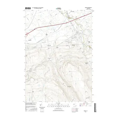
2016 Map of Oneida
USGS Topo · Published 2016About this map
Oneida and its neighboring villages sit at the heart of this Madison County landscape, where the flatlands of Lenox Basin give way to the rising elevations of W Stockbridge Hill. The map documents a dense network of watercourses, including the winding Oneida Creek and Cowaselon Creek, which historically powered the industry of local settlements like Durhamville and Clockville. The terrain is marked by significant topographical shifts, most notably at Buttermilk Falls and the ravines carved by Limestone Cr.
Find a feature on this map
131 named features on this map. Tap any name to fly to it.
Don’t see what you’re looking for? This feature index may not catch every label — zoom into the map to look around manually.
Map Details
Editions of this 2016 Oneida Map
This is the sole edition of this map. No revisions or reprints were ever made.
Other maps of this area

1895 · Chittenango
USGS Topo · 1:62,500

1895 · Oneida
USGS Topo · 1:62,500

1897 · Cazenovia
USGS Topo · 1:62,500

1898 · Oneida
USGS Topo · 1:62,500

1898 · Chittenango
USGS Topo · 1:62,500

1899 · Cazenovia
USGS Topo · 1:62,500

1902 · Chittenango
USGS Topo · 1:62,500

1902 · Morrisville
USGS Topo · 1:62,500

1902 · Oneida
USGS Topo · 1:62,500

1939 · Oneida
USGS Topo · 1:62,500