
2015 Map of Oneida
USGS Topo · Published 2015About this map
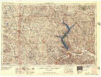
Oneida serves as the central hub of this Nemaha County landscape, where the street grid of Washington St and Madison St meets the rural section lines. The surrounding terrain is defined by a dense network of drainage, with Tennessee Creek and Wolfley Creek carving through the agricultural sections. This 2015 survey provides a modern snapshot of the region's enduring rural character, where small family landmarks and local history remain preserved in the landscape. Genealogists will find the locations of Oneida Cemetery and Ford Cemetery particularly significant for tracing local roots. The map also documents the modern road system, from established routes like Kelly Rd to local paths such as Put Rd, showing how the township remains connected to its traditional land divisions.
Find a feature on this map
27 named features on this map. Tap any name to fly to it.
Don’t see what you’re looking for? This feature index may not catch every label — zoom into the map to look around manually.
Map Details
Editions of this 2015 Oneida Map
This is the sole edition of this map. No revisions or reprints were ever made.
Other maps of this area
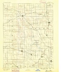
1888 · Hiawatha
USGS Topo · 1:125,000
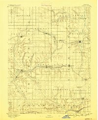
1889 · Seneca
USGS Topo · 1:125,000
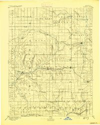
1894 · Seneca
USGS Topo · 1:125,000
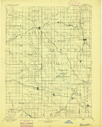
1894 · Hiawatha
USGS Topo · 1:125,000
1950 · Kansas City
USGS Topo · 1:250,000
1954 · Kansas City
USGS Topo · 1:250,000

1955 · Manhattan
USGS Topo · 1:250,000
1956 · Manhattan
USGS Topo · 1:250,000
1956 · Kansas City
USGS Topo · 1:250,000
1957 · Manhattan
USGS Topo · 1:250,000