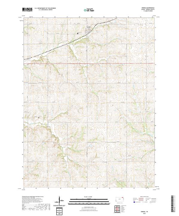
2022 Map of Oneida
USGS Topo · Published 2022About this map
Oneida anchors the northern portion of this Nemaha County landscape, surrounded by a high-plains drainage system that feeds several regional waterways. The town's early history is preserved at the Oneida Cem just to the west, while the more remote Ford Cem sits further south near Tennessee Cr. This area is defined by a rigid section-line road grid, including Goff Oneida Rd and Oak Grove Rd, which segments the agricultural land between meandering stream beds like Wolfley Cr and Muddy Cr. The map captures a moment of modern rural continuity, where family-run farms remain the primary economic driver and local cemeteries provide essential genealogical links to the pioneer-era families who first surveyed these townships.
Find a feature on this map
35 named features on this map. Tap any name to fly to it.
Don’t see what you’re looking for? This feature index may not catch every label — zoom into the map to look around manually.
Map Details
Editions of this 2022 Oneida Map
This is the sole edition of this map. No revisions or reprints were ever made.
Other maps of this area

1888 · Hiawatha
USGS Topo · 1:125,000

1889 · Seneca
USGS Topo · 1:125,000

1894 · Seneca
USGS Topo · 1:125,000

1894 · Hiawatha
USGS Topo · 1:125,000

1950 · Kansas City
USGS Topo · 1:250,000

1954 · Kansas City
USGS Topo · 1:250,000

1955 · Manhattan
USGS Topo · 1:250,000

1956 · Manhattan
USGS Topo · 1:250,000

1956 · Kansas City
USGS Topo · 1:250,000

1957 · Manhattan
USGS Topo · 1:250,000