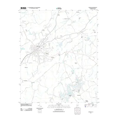
2011 Map of Oneonta
USGS Topo · Published 2011About this map
Oneonta serves as the focal point of this Blount County survey, where the street grid of the town center transitions into the more dispersed settlements of Eastwood and Champion. The landscape is defined by the ridge of Iron Mountain and the significant water passage of the Calvert Prong Little Warrior River, which winds through the northern portion of the quadrangle. Several historic gaps in the terrain, such as Taits Gap and Spout Spring Gap, illustrate how local geography shaped the early road networks and community boundaries.
Find a feature on this map
147 named features on this map. Tap any name to fly to it.
Don’t see what you’re looking for? This feature index may not catch every label — zoom into the map to look around manually.
Map Details
Editions of this 2011 Oneonta Map
This is the sole edition of this map. No revisions or reprints were ever made.
Other maps of this area

1885 · Gadsden
USGS Topo · 1:125,000

1888 · Cullman
USGS Topo · 1:125,000

1888 · Gadsden
USGS Topo · 1:125,000

1889 · Springville
USGS Topo · 1:125,000

1889 · Birmingham
USGS Topo · 1:125,000

1892 · Cullman
USGS Topo · 1:125,000

1892 · Birmingham
USGS Topo · 1:125,000

1892 · Springville
USGS Topo · 1:125,000

1892 · Gadsden
USGS Topo · 1:125,000

1895 · Gadsden
USGS Topo · 1:125,000