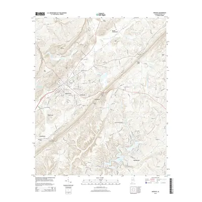
2014 Map of Oneonta
USGS Topo · Published 2014About this map
Oneonta and the surrounding Blount County ridges are meticulously documented in this 2014 survey. The town center serves as a primary hub for northern Alabama, flanked by the residential developments of Eastwood and the industrial corridors of Mattawana. The landscape is defined by the significant elevation changes of the Cumberland Plateau, with Sand Mountain and Straight Mtn running parallel to the valley floor. Water features are abundant, from the broad Highland Lake in the south to the Calvert Prong Little Warrior River winding through the northern gaps.
Find a feature on this map
171 named features on this map. Tap any name to fly to it.
Don’t see what you’re looking for? This feature index may not catch every label — zoom into the map to look around manually.
Map Details
Editions of this 2014 Oneonta Map
This is the sole edition of this map. No revisions or reprints were ever made.
Other maps of this area

1885 · Gadsden
USGS Topo · 1:125,000

1888 · Cullman
USGS Topo · 1:125,000

1888 · Gadsden
USGS Topo · 1:125,000

1889 · Springville
USGS Topo · 1:125,000

1889 · Birmingham
USGS Topo · 1:125,000

1892 · Cullman
USGS Topo · 1:125,000

1892 · Birmingham
USGS Topo · 1:125,000

1892 · Springville
USGS Topo · 1:125,000

1892 · Gadsden
USGS Topo · 1:125,000

1895 · Gadsden
USGS Topo · 1:125,000