Loading...
Loading map...2024 Map of Oneonta
USGS Topo · Published 2024About this map
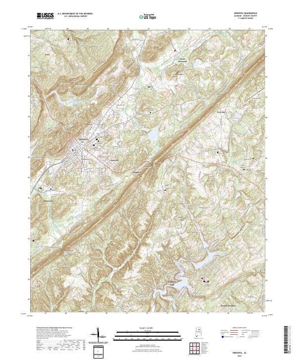
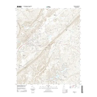
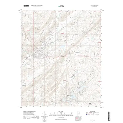
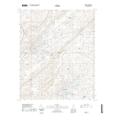
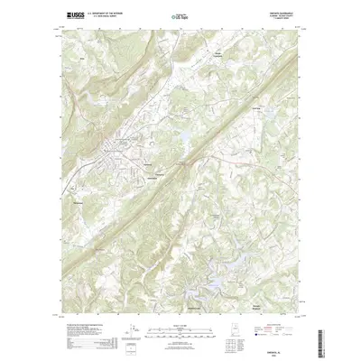
Oneonta serves as the focal point of this Blount County landscape, where the Blount County Courthouse sits at the heart of a city expanding along Red Mountain. The terrain is defined by the parallel ridges and valleys of the Appalachian foothills, including Murphree Valley and Sand Valley, which separate Sand Mountain from the Iron Mountain range. These natural corridors have long dictated the layout of settlements like Rosa, Champion, and Highland Lake.
Find a feature on this map
178 named features on this map. Tap any name to fly to it.
Don’t see what you’re looking for? This feature index may not catch every label — zoom into the map to look around manually.
Map Details
Date Portrayed2024
Date Published2024
PublisherU.S. Geological Survey
Map TypeTopographic
Scale1:24,000
Physical Dimensions24 x 29 inches
Editions of this 2024 Oneonta Map
This is the sole edition of this map. No revisions or reprints were ever made.
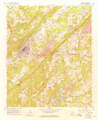
Historical Maps of Oneonta Through Time
8 maps found
Featured Locations
Source Details
SourceU.S. Geological Survey
CopyrightPublic Domain