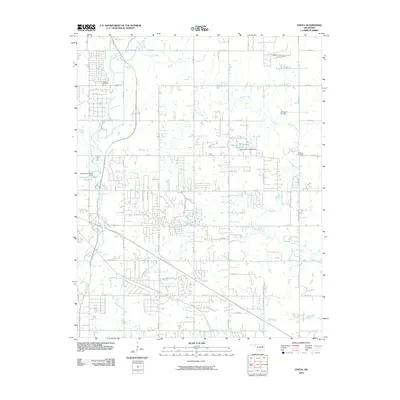
2010 Map of Oneta
USGS Topo · Published 2010About this map
Adams Creek and Coal Creek wind through this landscape on the eastern outskirts of the Tulsa metropolitan area, marking a transition from dense residential subdivisions to more open rural tracts. The transportation network is defined by major arteries including the Creek Tpke and Muskogee Tpke, which facilitate the rapid expansion of suburban developments. For local history and genealogy, the map identifies established burial grounds such as Smith Cemetery, Springtown Cemetery, and Bailey Cemetery. Several managed water bodies are also present, including the Oknoname 143016 Reservoir and Oknoname 145003 Reservoir. The grid of secondary roads, from Oneta Rd to Evans Rd, reflects the steady infill of residential neighborhoods at the beginning of the twenty-first century.
Find a feature on this map
49 named features on this map. Tap any name to fly to it.
Don’t see what you’re looking for? This feature index may not catch every label — zoom into the map to look around manually.
Map Details
Editions of this 2010 Oneta Map
This is the sole edition of this map. No revisions or reprints were ever made.
Other maps of this area

1896 · Okmulgee
USGS Topo · 1:125,000

1900 · Okmulgee
USGS Topo · 1:125,000

1901 · Claremore
USGS Topo · 1:125,000

1914 · Claremore
USGS Topo · 1:125,000

1916 · Claremore
USGS Topo · 1:125,000

1946 · Fort Smith
USGS Topo · 1:250,000

1954 · Tulsa
USGS Topo · 1:250,000

1955 · Mingo
USGS Topo · 1:24,000

1955 · Broken Arrow
USGS Topo · 1:24,000

1957 · Leonard
USGS Topo · 1:24,000