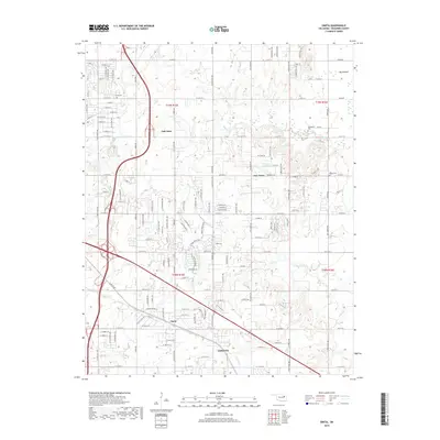
2019 Map of Oneta
USGS Topo · Published 2019About this map
Oneta sits at the heart of this Wagoner County landscape, illustrating the residential growth and road development southeast of the metropolitan center at the end of the 2010s. The map reveals a transition from the denser street grids of New Tulsa and Coweta to the more open terrain surrounding Fair Oaks. Family history is preserved at local burial sites like Smith Cem, Springtown Cem, and Bailey Cem, which remain as quiet landmarks among the expanding suburbs. Waterways such as Adams Creek, Coal Creek, and Coweta Creek wind through the region, while the low-lying Big Bottom area defines the local topography. This document captures the modern infrastructure of the area, including the numerous numbered streets and residential reservoirs like 143016 Reservoir that support the local population.
Find a feature on this map
132 named features on this map. Tap any name to fly to it.
Don’t see what you’re looking for? This feature index may not catch every label — zoom into the map to look around manually.
Map Details
Editions of this 2019 Oneta Map
This is the sole edition of this map. No revisions or reprints were ever made.
Other maps of this area

1896 · Okmulgee
USGS Topo · 1:125,000

1900 · Okmulgee
USGS Topo · 1:125,000

1901 · Claremore
USGS Topo · 1:125,000

1914 · Claremore
USGS Topo · 1:125,000

1916 · Claremore
USGS Topo · 1:125,000

1946 · Fort Smith
USGS Topo · 1:250,000

1954 · Tulsa
USGS Topo · 1:250,000

1955 · Mingo
USGS Topo · 1:24,000

1955 · Broken Arrow
USGS Topo · 1:24,000

1957 · Leonard
USGS Topo · 1:24,000