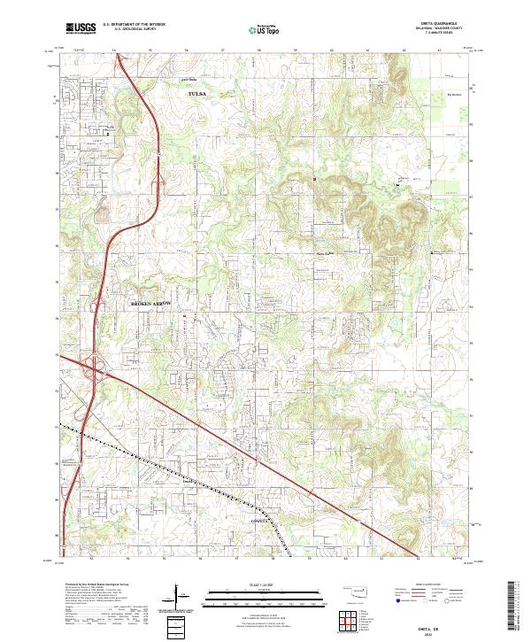
2022 Map of Oneta
USGS Topo · Published 2022About this map
Broken Arrow and Tulsa anchor the northwestern quadrant of this modern survey, which documents the ongoing integration of residential developments and older agricultural land in Wagoner County. The landscape is defined by its transition from the built environments of New Tulsa and Fair Oaks to the more open drainage basins of Coal Creek and Coweta Creek. Genealogists will find three small burial sites preserved amidst the increasing suburban footprint: Thomas Smith Cemetery, Springtown Cemetery, and Bailey Cemetery.
Find a feature on this map
142 named features on this map. Tap any name to fly to it.
Don’t see what you’re looking for? This feature index may not catch every label — zoom into the map to look around manually.
Map Details
Editions of this 2022 Oneta Map
This is the sole edition of this map. No revisions or reprints were ever made.
Other maps of this area

1896 · Okmulgee
USGS Topo · 1:125,000

1900 · Okmulgee
USGS Topo · 1:125,000

1901 · Claremore
USGS Topo · 1:125,000

1914 · Claremore
USGS Topo · 1:125,000

1916 · Claremore
USGS Topo · 1:125,000

1946 · Fort Smith
USGS Topo · 1:250,000

1954 · Tulsa
USGS Topo · 1:250,000

1955 · Mingo
USGS Topo · 1:24,000

1955 · Broken Arrow
USGS Topo · 1:24,000

1957 · Leonard
USGS Topo · 1:24,000