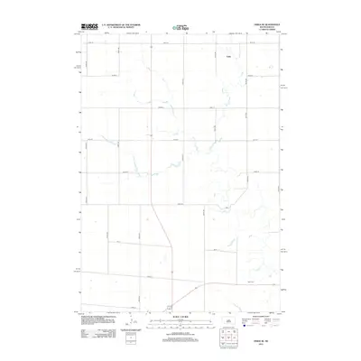
2012 Map of Onida SE
USGS Topo · Published 2012About this map
Eakin sits along the northern edge of this Sully County landscape, representing a small junction in the vast agricultural grid of central South Dakota. The terrain is defined by a meticulous section-line road system, including 306th Ave and 191st St, which organizes the prairie into a productive patchwork of fields. In the southeast corner, the Blunt Cem serves as a significant local landmark for genealogical research, marking a point of repose near the intersection of 308th Ave and the southern section lines. The map reveals the intricate drainage patterns of seasonal creek beds that meander across the plains, contrasting with the rigid geometry of the modern roadway network.
Find a feature on this map
18 named features on this map. Tap any name to fly to it.
Don’t see what you’re looking for? This feature index may not catch every label — zoom into the map to look around manually.
Map Details
Editions of this 2012 Onida SE Map
This is the sole edition of this map. No revisions or reprints were ever made.
Other maps of this area

1934 · Canning
USGS Topo · 1:48,000

1937 · Canning
USGS Topo · 1:62,500

1953 · Huron
USGS Topo · 1:250,000

1954 · Pierre
USGS Topo · 1:250,000

1954 · Huron
USGS Topo · 1:250,000

1958 · Pierre
USGS Topo · 1:250,000

1965 · Sully Lake
USGS Topo · 1:24,000

1967 · Canning
USGS Topo · 1:24,000

1967 · Onida SE
USGS Topo · 1:24,000

1967 · Onida SW
USGS Topo · 1:24,000