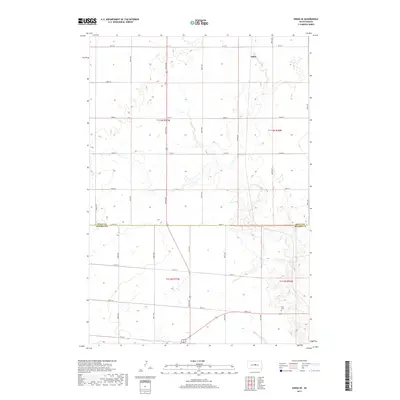
2017 Map of Onida SE
USGS Topo · Published 2017About this map
Eakin anchors the northern reaches of this central South Dakota landscape, where the high plains are segmented by a precise grid of sectional roads. The boundary line of Sully Co Hughes Co runs east-to-west across the center of the sheet, marking a transition between rural jurisdictions. Toward the southeast, the Blunt Cem serves as a significant genealogical landmark for those tracing local family histories in the region. The map reveals the systematic development of the area through its numbered thoroughfares, such as 304th Ave and 196th St, which facilitate transport across the expansive agricultural terrain. Scattered depressions and intermittent drainage patterns indicate the local hydrology typical of this part of the Great Plains, illustrating how the natural topography interacts with the rigid lines of human settlement.
Find a feature on this map
23 named features on this map. Tap any name to fly to it.
Don’t see what you’re looking for? This feature index may not catch every label — zoom into the map to look around manually.
Map Details
Editions of this 2017 Onida SE Map
This is the sole edition of this map. No revisions or reprints were ever made.
Other maps of this area
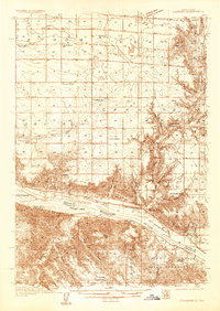
1934 · Canning
USGS Topo · 1:48,000
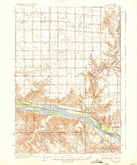
1937 · Canning
USGS Topo · 1:62,500
1953 · Huron
USGS Topo · 1:250,000
1954 · Pierre
USGS Topo · 1:250,000
1954 · Huron
USGS Topo · 1:250,000
1958 · Pierre
USGS Topo · 1:250,000
1965 · Sully Lake
USGS Topo · 1:24,000
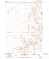
1967 · Canning
USGS Topo · 1:24,000
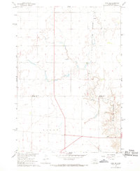
1967 · Onida SE
USGS Topo · 1:24,000
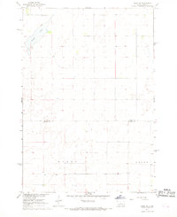
1967 · Onida SW
USGS Topo · 1:24,000