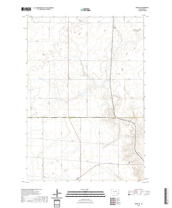
2021 Map of Onida SE
USGS Topo · Published 2021About this map
The rolling plains of Central South Dakota are documented in this 2021 topographic record, centered on the boundary between Sully Co and Hughes Co. The landscape is defined by a grid-like section line road network, including arterial routes such as 304th Ave and 305th Ave that cross the county line at 196th St. The settlement of Eakin stands as a primary point of reference in the northern portion of the map, while the southern section is anchored by Blunt Cem. The terrain is marked by numerous small depressions and drainage patterns typical of the region's agricultural heartland, providing a clear view of land divisions and rural infrastructure. This survey captures the spatial arrangement of contemporary farmsteads and the enduring rural geography of the Great Plains.
Find a feature on this map
24 named features on this map. Tap any name to fly to it.
Don’t see what you’re looking for? This feature index may not catch every label — zoom into the map to look around manually.
Map Details
Editions of this 2021 Onida SE Map
This is the sole edition of this map. No revisions or reprints were ever made.
Other maps of this area

1934 · Canning
USGS Topo · 1:48,000

1937 · Canning
USGS Topo · 1:62,500

1953 · Huron
USGS Topo · 1:250,000

1954 · Pierre
USGS Topo · 1:250,000

1954 · Huron
USGS Topo · 1:250,000

1958 · Pierre
USGS Topo · 1:250,000

1965 · Sully Lake
USGS Topo · 1:24,000

1967 · Canning
USGS Topo · 1:24,000

1967 · Onida SE
USGS Topo · 1:24,000

1967 · Onida SW
USGS Topo · 1:24,000