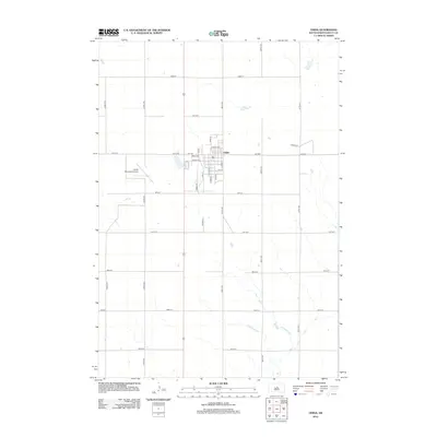
2012 Map of Onida
USGS Topo · Published 2012About this map
Onida serves as the central hub of this prairie landscape, where a precise grid of section-line roads like 303rd Ave and 185th St defines the agricultural layout of Sully County. The town itself is compactly organized around a traditional street plan featuring Main St, Onida Ave, and several tree-named corridors such as Cherry Ave and Cedar Ave. To the west, the Onida Municipal Airport stands as a significant local landmark, punctuating the expansive fields. The presence of Rodeo Pl on the eastern edge of the settlement suggests the community's cultural ties to the land and regional traditions. This survey illustrates a modern Midwestern town where the geometry of rural transport routes meets a well-established residential and civic center.
Find a feature on this map
28 named features on this map. Tap any name to fly to it.
Don’t see what you’re looking for? This feature index may not catch every label — zoom into the map to look around manually.
Map Details
Editions of this 2012 Onida Map
This is the sole edition of this map. No revisions or reprints were ever made.
Other maps of this area

1953 · Huron
USGS Topo · 1:250,000

1954 · Pierre
USGS Topo · 1:250,000

1954 · Huron
USGS Topo · 1:250,000

1958 · Pierre
USGS Topo · 1:250,000

1965 · Agar SW
USGS Topo · 1:24,000

1965 · Agar
USGS Topo · 1:24,000

1965 · Sully Lake
USGS Topo · 1:24,000

1967 · Onida SE
USGS Topo · 1:24,000

1967 · Onida SW
USGS Topo · 1:24,000

1967 · Blunt
USGS Topo · 1:24,000