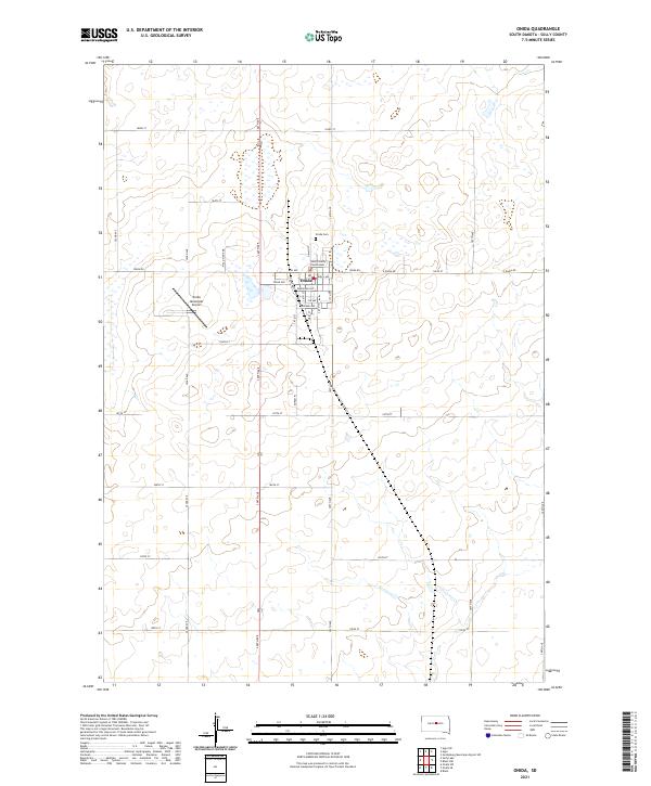
2021 Map of Onida
USGS Topo · Published 2021About this map
Onida serves as the focal point of this Sully County landscape, centered on the Sully County Courthouse and the surrounding grid of tree-named streets like Birch Ave and Cedar Ave. The layout of the town reflects a classic Great Plains agricultural hub, with the Onida Cem situated at its northern edge and the Onida Municipal Airport providing an essential aerial link to the west. Outside the central settlement, the terrain is defined by the high-plains section line road system, including Onida Rd and 304th Ave. This survey illustrates the 21st-century configuration of a South Dakota county seat, balancing civic administration with the infrastructure required for large-scale prairie farming and regional transit.
Find a feature on this map
40 named features on this map. Tap any name to fly to it.
Don’t see what you’re looking for? This feature index may not catch every label — zoom into the map to look around manually.
Map Details
Editions of this 2021 Onida Map
This is the sole edition of this map. No revisions or reprints were ever made.
Other maps of this area

1953 · Huron
USGS Topo · 1:250,000

1954 · Pierre
USGS Topo · 1:250,000

1954 · Huron
USGS Topo · 1:250,000

1958 · Pierre
USGS Topo · 1:250,000

1965 · Agar SW
USGS Topo · 1:24,000

1965 · Agar
USGS Topo · 1:24,000

1965 · Sully Lake
USGS Topo · 1:24,000

1967 · Onida SE
USGS Topo · 1:24,000

1967 · Onida SW
USGS Topo · 1:24,000

1967 · Blunt
USGS Topo · 1:24,000