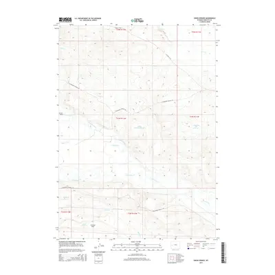
2015 Map of Onion Springs
USGS Topo · Published 2015About this map
Onion Springs serves as a focal point for this section of Sublette County, where water management is central to the high plains landscape. The western drainage systems are defined by the winding paths of Onion Cr and Horse Cr, which give way to significant water storage features like Elaines Detention Reservoir and Jewett Red Flat Reservoir. These man-made structures, along with Coyote Reservoir near Antelope Draw, underscore the importance of water catchment for local livestock and land use. The terrain is marked by deep natural troughs such as Brodie Draw and a complex network of seasonal flows including Killpecker Cr and Muddy Cr. Navigation through this territory is maintained by the primary arteries of Ryegrass Co Rd and Cottonwood Ryegrass Rd, which link the various drainages and basins.
Find a feature on this map
21 named features on this map. Tap any name to fly to it.
Don’t see what you’re looking for? This feature index may not catch every label — zoom into the map to look around manually.
Map Details
Editions of this 2015 Onion Springs Map
This is the sole edition of this map. No revisions or reprints were ever made.
Other maps of this area
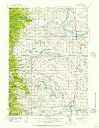
1939 · Big Piney
USGS Topo · 1:125,000
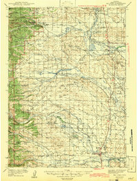
1942 · Big Piney
USGS Topo · 1:125,000

1955 · Preston
USGS Topo · 1:250,000

1958 · Preston
USGS Topo · 1:250,000

1962 · Preston
USGS Topo · 1:250,000
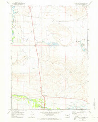
1970 · Daniel Junction
USGS Topo · 1:24,000
1970 · Budd Reservoir
USGS Topo · 1:24,000
1970 · Daniel
USGS Topo · 1:24,000
1970 · Webb Draw
USGS Topo · 1:24,000
1970 · Ball Island
USGS Topo · 1:24,000