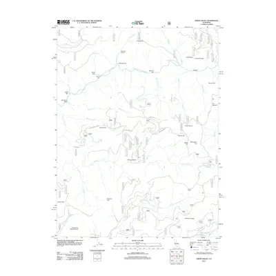
2012 Map of Onion Valley
USGS Topo · Published 2012About this map
Middle Fork Feather River carves through this Plumas County terrain, punctuated by gravel bars that recall the region's mining heritage. Historically significant river landings and flats like Rich Bar, Minerva Bar, and McCarthy Bar line the waterway, while upland features such as Sawmill Flat and Sawpit Flat suggest the early timber and milling industries. The southern portion is defined by the S Fork Feather River and the high elevation of Gibsonville Ridge. Local roads such as La Porte Rd and Cleghorn Bar Rd connect the remote settlements of Onion Valley and its namesake Onion Valley Reservoir. From the heights of Fowler Peak to the waters of Delahunty Lake, the map provides a contemporary view of a landscape steeped in California's resource-extraction history.
Find a feature on this map
88 named features on this map. Tap any name to fly to it.
Don’t see what you’re looking for? This feature index may not catch every label — zoom into the map to look around manually.
Map Details
Editions of this 2012 Onion Valley Map
This is the sole edition of this map. No revisions or reprints were ever made.
Other maps of this area

1888 · Bidwell Bar
USGS Topo · 1:125,000

1891 · Bidwell Bar
USGS Topo · 1:125,000

1891 · Downieville
USGS Topo · 1:125,000

1893 · Bidwell Bar
USGS Topo · 1:125,000

1893 · Downieville
USGS Topo · 1:125,000

1895 · Bidwell Bar
USGS Topo · 1:125,000

1895 · Downieville
USGS Topo · 1:125,000

1896 · Downieville
USGS Topo · 1:125,000

1897 · Bidwell Bar
USGS Topo · 1:125,000

1897 · Downieville
USGS Topo · 1:125,000