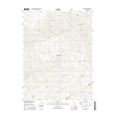
2015 Map of Onion Valley
USGS Topo · Published 2015About this map
Onion Valley and the surrounding high-elevation terrain of Plumas National Forest are defined by steep river canyons and early mining-era placenames. Along the Middle Fork Feather River, numerous river bars such as Rich Bar, Minerva Bar, and McCarthy Bar recall the region's historical gold-seeking activity. The landscape is marked by extreme relief, moving from the depths of the river canyons to the heights of Gibsonville Ridge and Fowler Peak in the southwest.
Find a feature on this map
52 named features on this map. Tap any name to fly to it.
Don’t see what you’re looking for? This feature index may not catch every label — zoom into the map to look around manually.
Map Details
Editions of this 2015 Onion Valley Map
This is the sole edition of this map. No revisions or reprints were ever made.
Other maps of this area
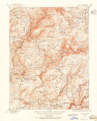
1888 · Bidwell Bar
USGS Topo · 1:125,000
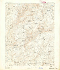
1891 · Bidwell Bar
USGS Topo · 1:125,000
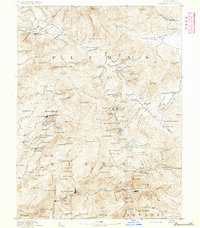
1891 · Downieville
USGS Topo · 1:125,000
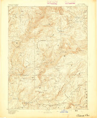
1893 · Bidwell Bar
USGS Topo · 1:125,000
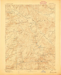
1893 · Downieville
USGS Topo · 1:125,000
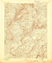
1895 · Bidwell Bar
USGS Topo · 1:125,000
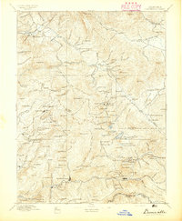
1895 · Downieville
USGS Topo · 1:125,000
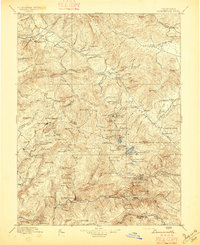
1896 · Downieville
USGS Topo · 1:125,000
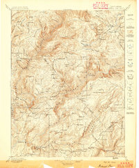
1897 · Bidwell Bar
USGS Topo · 1:125,000
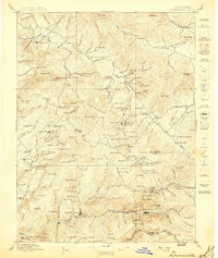
1897 · Downieville
USGS Topo · 1:125,000