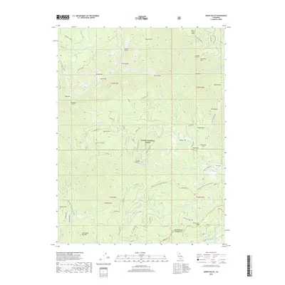
2018 Map of Onion Valley
USGS Topo · Published 2018About this map
Plumas National Forest contains a network of ridges and ravines where the North Sierra terrain drops toward the Middle Fork Feather River. The settlement of Gibsonville sits on the southern edge of the sheet near the Sierra County line, situated along Gibsonville Ridge. This area shows the high-elevation landscape of the Gold Country before it transitions into the deeper canyons. Evidence of historic land use is visible in named sites like Sawmill Flat, Sawpit Flat, and the Onion Valley Reservoir. Steep topographical features such as Grass Valley Bald Mtn and Little Volcano define the horizon, while numerous watercourses like McCarthy Cr and Onion Valley Cr drain the complex slopes. The Pacific Crest National Scenic Trail winds through the southwestern section, passing near Fowler Peak and Chimney Rock.
Find a feature on this map
56 named features on this map. Tap any name to fly to it.
Don’t see what you’re looking for? This feature index may not catch every label — zoom into the map to look around manually.
Map Details
Editions of this 2018 Onion Valley Map
This is the sole edition of this map. No revisions or reprints were ever made.
Other maps of this area
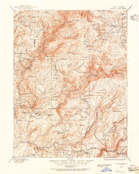
1888 · Bidwell Bar
USGS Topo · 1:125,000
1891 · Bidwell Bar
USGS Topo · 1:125,000
1891 · Downieville
USGS Topo · 1:125,000
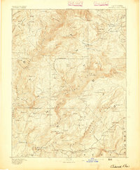
1893 · Bidwell Bar
USGS Topo · 1:125,000
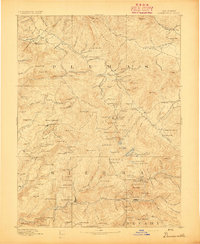
1893 · Downieville
USGS Topo · 1:125,000
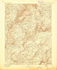
1895 · Bidwell Bar
USGS Topo · 1:125,000
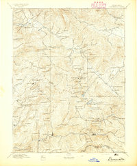
1895 · Downieville
USGS Topo · 1:125,000
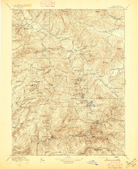
1896 · Downieville
USGS Topo · 1:125,000
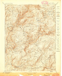
1897 · Bidwell Bar
USGS Topo · 1:125,000
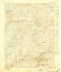
1897 · Downieville
USGS Topo · 1:125,000