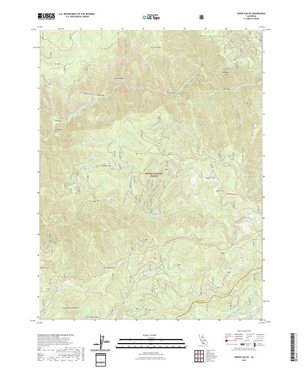
2021 Map of Onion Valley
USGS Topo · Published 2021About this map
The Middle Fork Feather River carves a deep, serpentine path through this section of the Plumas National Forest, where the terrain is marked by the historical legacy of river-based commerce. Named gravel bars such as Rich Bar, McCarthy Bar, Minerva Bar, and Oddie Bar line the river banks, signifying early mining and settlement locations along the waterway. Higher elevations are traversed by the Pacific Crest National Scenic Trl, which winds past landmarks like Chimney Rock and Fowler Peak. To the south, the landscape shifts toward the high plateaus of Gibsonville Ridge and Little Grass Valley. The infrastructure is defined by the winding Quincy La Porte Road, which connects the high ridges to the valleys below, passing the Onion Valley Reservoir and following the contours of The Hogback and Quartz Point.
Find a feature on this map
57 named features on this map. Tap any name to fly to it.
Don’t see what you’re looking for? This feature index may not catch every label — zoom into the map to look around manually.
Map Details
Editions of this 2021 Onion Valley Map
This is the sole edition of this map. No revisions or reprints were ever made.
Other maps of this area

1888 · Bidwell Bar
USGS Topo · 1:125,000

1891 · Bidwell Bar
USGS Topo · 1:125,000

1891 · Downieville
USGS Topo · 1:125,000

1893 · Bidwell Bar
USGS Topo · 1:125,000

1893 · Downieville
USGS Topo · 1:125,000

1895 · Bidwell Bar
USGS Topo · 1:125,000

1895 · Downieville
USGS Topo · 1:125,000

1896 · Downieville
USGS Topo · 1:125,000

1897 · Bidwell Bar
USGS Topo · 1:125,000

1897 · Downieville
USGS Topo · 1:125,000