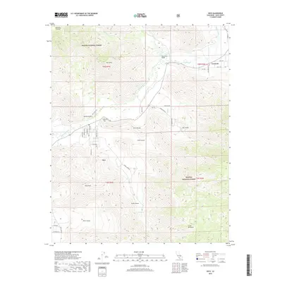
2018 Map of Onyx
USGS Topo · Published 2018About this map
Onyx and the surrounding South Fork Valley sit at a geographic crossroads where the southern Sierra Nevada meets the high desert. In this 2018 survey, the course of the S Fork Kern River dictates the settlement pattern, with ranching roads like Doyle Ranch Rd and Barron Rd branching off toward the foothills. Local history is anchored by the Cottage Grove Cem, located near the junction of the river and Stormy Canyon. The transition from valley floor to peak is abrupt, rising toward Onyx Peak and the Scodie Mountains to the south. In the northeast, the smaller settlement of Canebrake is tucked near Canebrake Cr and Chimney Creek. Much of the quadrangle is protected within the Sequoia National Forest, preserving the rugged corridors of Smith Canyon and Scodie Canyon as they drain toward the Kern River watershed.
Find a feature on this map
48 named features on this map. Tap any name to fly to it.
Don’t see what you’re looking for? This feature index may not catch every label — zoom into the map to look around manually.
Map Details
Editions of this 2018 Onyx Map
This is the sole edition of this map. No revisions or reprints were ever made.
Other maps of this area
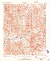
1906 · Kernville
USGS Topo · 1:125,000
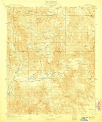
1908 · Kernville
USGS Topo · 1:125,000
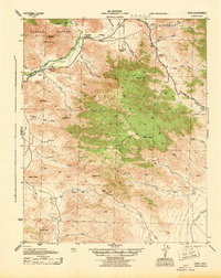
1943 · Onyx
USGS Topo · 1:62,500
1943 · Isabella
USGS Topo · 1:62,500
1948 · Bakersfield
USGS Topo · 1:250,000
1955 · Bakersfield
USGS Topo · 1:250,000
1956 · Bakersfield
USGS Topo · 1:250,000
1956 · Kernville
USGS Topo · 1:62,500
1956 · Lamont Peak
USGS Topo · 1:62,500
1960 · Bakersfield
USGS Topo · 1:250,000