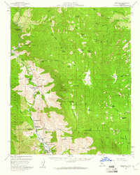
1956 Map of Kernville
USGS Topo · Published 1960About this map
Kern River flows through the heart of this mid-century survey, anchoring a landscape of deep canyons and high Sierra meadows within the Sequoia National Forest. The settlement of Kernville sits at the southern reach, serving as a gateway to the surrounding wilderness and supporting local infrastructure like the Fish Hatchery and Camp Owens. This era of the 1950s shows the region’s development as a recreational and resource hub, evidenced by the dense concentration of sites such as Gold Ledge Campground and Corral Creek Campground along the riverbanks.
Find a feature on this map
92 named features on this map. Tap any name to fly to it.
Don’t see what you’re looking for? This feature index may not catch every label — zoom into the map to look around manually.
Map Details
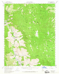
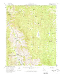
Editions of this 1956 Kernville Map
3 editions found
Other maps of this area

1904 · Kaweah
USGS Topo · 1:125,000

1905 · Olancha
USGS Topo · 1:125,000

1905 · Fairview
USGS Topo · 1:24,000

1906 · Kernville
USGS Topo · 1:125,000

1907 · Olancha
USGS Topo · 1:125,000

1908 · Kernville
USGS Topo · 1:125,000

1909 · Kaweah
USGS Topo · 1:125,000

1918 · Fairview
USGS Topo · 1:31,680

1920 · Delonagha
USGS Topo · 1:62,500

1926 · Glennville
USGS Topo · 1:62,500