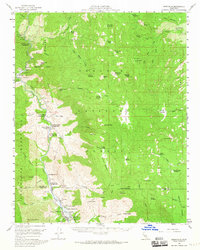
1956 Map of Kernville
USGS Topo · Published 1965About this map
The Kern River corridor within the Sequoia National Forest dominates this mid-century survey, revealing a landscape defined by its high-altitude meadows and developing recreational infrastructure. The settlement of Kernville and nearby Fairview serve as anchors for a network of riverside campgrounds such as Gilbert Campground and Camp Kernville, reflecting the area's importance for timber and tourism. Higher elevations are marked by remote outposts like the Cannell Meadow Guard Sta and a sequence of named meadows including Manter Meadow and Sirretta Meadows. Geologic and industrial interests are represented by the Fairview Mine and Commonwealth Mine near the river, while natural landmarks like Salmon Creek Falls and Packsaddle Cave illustrate the varied topography across the Tulare and Kern County line.
Find a feature on this map
81 named features on this map. Tap any name to fly to it.
Don’t see what you’re looking for? This feature index may not catch every label — zoom into the map to look around manually.
Map Details
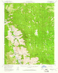
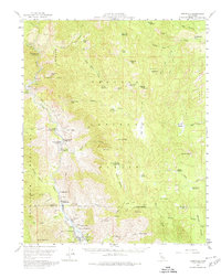
Editions of this 1956 Kernville Map
3 editions found
Other maps of this area

1904 · Kaweah
USGS Topo · 1:125,000

1905 · Olancha
USGS Topo · 1:125,000

1905 · Fairview
USGS Topo · 1:24,000

1906 · Kernville
USGS Topo · 1:125,000

1907 · Olancha
USGS Topo · 1:125,000

1908 · Kernville
USGS Topo · 1:125,000

1909 · Kaweah
USGS Topo · 1:125,000

1918 · Fairview
USGS Topo · 1:31,680

1920 · Delonagha
USGS Topo · 1:62,500

1926 · Glennville
USGS Topo · 1:62,500