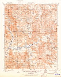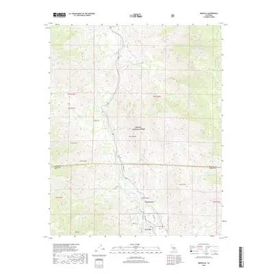
1956 Map of Kernville
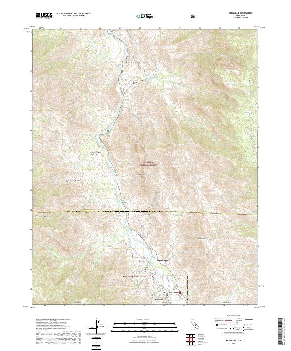
USGS Topo · Published 1974About this map
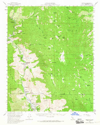
Kernville serves as the focal point of this mid-century survey, situated at the southern edge of the Sequoia National Forest where the Kern River flows through the high country. The map captures a transition in the landscape, featuring established sites like the Fish Hatchery and Camp Owens alongside numerous recreational developments such as Gilbert Campground and Camp Kerner. Higher elevations to the north and east reveal a dense network of meadows and peaks, including Sirretta Peak and the distinctive Church Dome, while the Greenhorn Mountains rise to the west. Evidence of local industry and geology appears in the Fairview Mine and the remote Packsaddle Cave. The distribution of dozens of camps and campgrounds, from Gold Ledge Campground to Headquarters Campground, indicates the area's development into a major hub for mountain tourism and watershed management during the 1950s.
Find a feature on this map
77 named features on this map. Tap any name to fly to it.
Don’t see what you’re looking for? This feature index may not catch every label — zoom into the map to look around manually.
Map Details
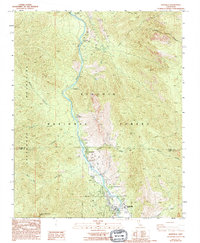
Editions of this 1956 Kernville Map
3 editions found
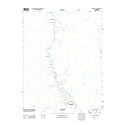
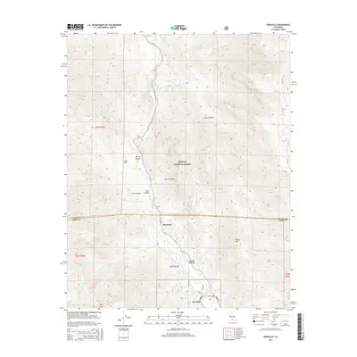
Historical Maps of Fairview Through Time
8 maps found