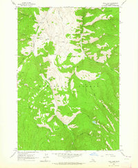
1963 Map of Opal Lake
USGS Topo · Published 1964About this map
Singheiser and the Rabbit Foot Mine anchor the resource-heavy landscape of this Idaho interior, where the high mountain basins of the Salmon National Forest were still actively worked and accessed by Jeep trails in the early 1960s. The drainage of Panther Creek carves a deep path through the quadrangle, receiving tributaries like South Fork Cabin Creek and Fourth of July Creek.
Find a feature on this map
28 named features on this map. Tap any name to fly to it.
Don’t see what you’re looking for? This feature index may not catch every label — zoom into the map to look around manually.
Map Details
Editions of this 1963 Opal Lake Map
2 editions found
Other maps of this area

1950 · Blackbird Mtn
USGS Topo · 1:62,500

1950 · Leesburg
USGS Topo · 1:62,500

1951 · Leesburg
USGS Topo · 1:62,500

1951 · Blackbird Mtn
USGS Topo · 1:62,500

1956 · Elk City
USGS Topo · 1:250,000

1957 · Challis
USGS Topo · 1:250,000

1960 · Elk City
USGS Topo · 1:250,000

1960 · Challis
USGS Topo · 1:250,000

1963 · Challis
USGS Topo · 1:250,000
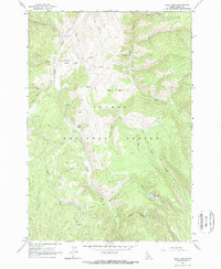
1963 · Opal Lake
USGS Topo · 1:24,000