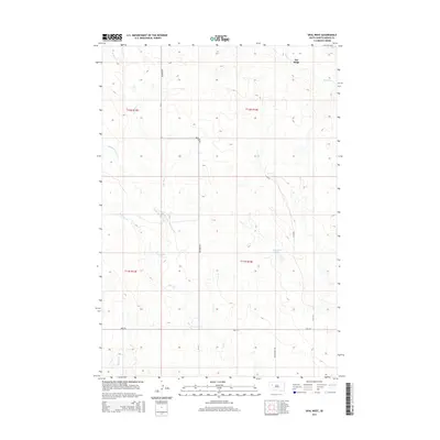
2015 Map of Opal West
USGS Topo · Published 2015About this map
Fox Ridge defines the northern topography of this western South Dakota landscape, where the headwaters of several drainages carve through the high plains of Meade County. The intricate network of the Pine Creek system is visible here, including the East Branch, Middle Branch, and West Branch, alongside the isolated Vansickel Lake. The map details a sparse but vital rural road network established along section lines, anchored by the intersection of Maurine Road and Opal Road. These thoroughfares, along with Triple Creek Road, serve the ranching and agricultural interests across the townships of T11N and T12N. Other water features such as Horse Creek and Beaver Creek underscore the importance of natural drainage in this semi-arid region of the Great Plains during the early 21st century.
Find a feature on this map
17 named features on this map. Tap any name to fly to it.
Don’t see what you’re looking for? This feature index may not catch every label — zoom into the map to look around manually.
Map Details
Editions of this 2015 Opal West Map
This is the sole edition of this map. No revisions or reprints were ever made.
Other maps of this area
1951 · Cedar Canyon
USGS Topo · 1:24,000
1951 · Maurine
USGS Topo · 1:24,000
1952 · Signal Butte
USGS Topo · 1:24,000
1953 · Rapid City
USGS Topo · 1:250,000
1954 · Lemmon
USGS Topo · 1:250,000
1957 · Lemmon
USGS Topo · 1:250,000
1957 · Rapid City
USGS Topo · 1:250,000
1983 · Opal West SE
USGS Topo · 1:24,000
1983 · Squaw Buttes
USGS Topo · 1:24,000
1983 · Opal East
USGS Topo · 1:24,000