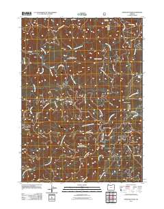
2011 Map of Ophir Mountain
USGS Topo · Published 2011About this map
Ophir Mountain and the high peaks of the Southern Oregon Coast Range dominate this 2011 landscape, defined by a complex network of forest development roads and river drainages. The Elk River and its numerous tributaries, including Blackberry Creek and the South Fork Elk River, carve through the terrain, illustrating the hydrologic patterns of the region. Localities like Toast Camp and Camp Victoria suggest the area's history of seasonal activity and forest management within the timber-rich Coos County backcountry.
Find a feature on this map
37 named features on this map. Tap any name to fly to it.
Don’t see what you’re looking for? This feature index may not catch every label — zoom into the map to look around manually.
Map Details
Editions of this 2011 Ophir Mountain Map
This is the sole edition of this map. No revisions or reprints were ever made.
Other maps of this area

1899 · Port Orford
USGS Topo · 1:125,000

1903 · Port Orford
USGS Topo · 1:125,000

1954 · Coos Bay
USGS Topo · 1:250,000

1954 · Port Orford
USGS Topo · 1:62,500

1954 · Agness
USGS Topo · 1:62,500

1954 · Powers
USGS Topo · 1:62,500

1954 · Langlois
USGS Topo · 1:62,500

1958 · Coos Bay
USGS Topo · 1:250,000

1962 · Coos Bay
USGS Topo · 1:250,000
1986 · Father Mountain
USGS Topo · 1:24,000