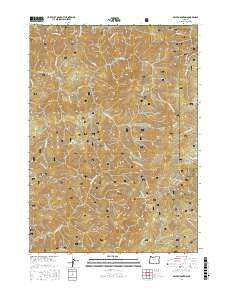
2017 Map of Ophir Mountain
USGS Topo · Published 2017About this map
The Siskiyou National Forest dominates this section of the Southern Oregon Coast Range, where the drainage divide between the Sixes River and the Elk River creates a complex system of ridges and deep canyons. This 2017 survey details the topographical prominence of several local peaks, including Ophir Mtn, Iron Mtn, and Panther Mtn, which define the horizon of this interior wilderness. The map reveals an extensive network of Forest Service roads, such as Nat For Dev Rd 5325, that provide access to remote areas like Bonanza Basin and the curiously named Devils Half Acre. For the local historian or researcher, the map preserves the names of numerous minor waterways like Poverty Gulch and Blackberry Cr, reflecting the region's long history of small-scale mining and timber exploration. These labels provide a precise record of the geography within the Curry and Coos county borderlands.
Find a feature on this map
41 named features on this map. Tap any name to fly to it.
Don’t see what you’re looking for? This feature index may not catch every label — zoom into the map to look around manually.
Map Details
Editions of this 2017 Ophir Mountain Map
This is the sole edition of this map. No revisions or reprints were ever made.
Other maps of this area
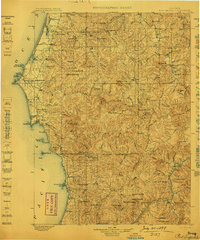
1899 · Port Orford
USGS Topo · 1:125,000
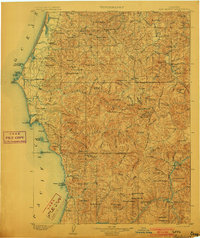
1903 · Port Orford
USGS Topo · 1:125,000
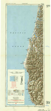
1954 · Coos Bay
USGS Topo · 1:250,000
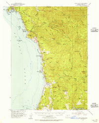
1954 · Port Orford
USGS Topo · 1:62,500
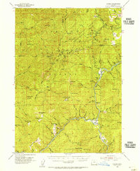
1954 · Agness
USGS Topo · 1:62,500
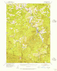
1954 · Powers
USGS Topo · 1:62,500
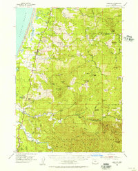
1954 · Langlois
USGS Topo · 1:62,500
1958 · Coos Bay
USGS Topo · 1:250,000
1962 · Coos Bay
USGS Topo · 1:250,000
1986 · Father Mountain
USGS Topo · 1:24,000