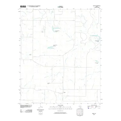
2010 Map of Oplin
USGS Topo · Published 2010About this map
Oplin serves as a central point in this Callahan County landscape, where the intersection of FM 604 S and FM 2926 anchors a community defined by its water management and ranching heritage. The terrain is notably marked by Tecumseh Peak, providing a distinct vertical landmark near the Tecumseh Cemetery. This 2010 survey illustrates a complex hydrological system of seasonal creeks and drainage branches, including Little Rocky Creek, Clear Creek, and South Prong Pecan Bayou.
Find a feature on this map
38 named features on this map. Tap any name to fly to it.
Don’t see what you’re looking for? This feature index may not catch every label — zoom into the map to look around manually.
Map Details
Editions of this 2010 Oplin Map
This is the sole edition of this map. No revisions or reprints were ever made.
Other maps of this area

1890 · Abilene
USGS Topo · 1:125,000

1892 · Abilene
USGS Topo · 1:125,000

1931 · Baird
USGS Topo · 1:125,000

1932 · Baird
USGS Topo · 1:125,000

1954 · Abilene
USGS Topo · 1:250,000

1957 · Kirby Lake
USGS Topo · 1:62,500

1958 · Abilene
USGS Topo · 1:250,000
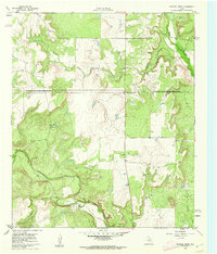
1960 · Crooked Creek
USGS Topo · 1:24,000
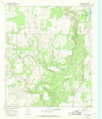
1966 · Cub Hollow
USGS Topo · 1:24,000
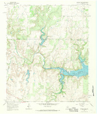
1967 · McEwen Draw
USGS Topo · 1:24,000