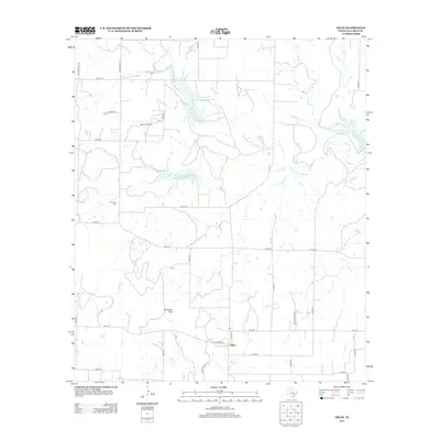
2012 Map of Oplin
USGS Topo · Published 2012About this map
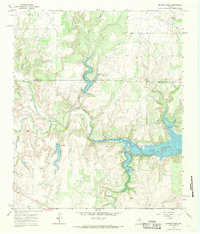
Tecumseh Peak rises above the ranchlands of Callahan County, marking a landscape defined by cattle country and the petroleum industry. This portion of West Texas is drained by the S Prong Pecan Bayou and its numerous tributaries, including Little Rocky Cr and Clear Cr. The settlement of Oplin serves as a small community hub at the junction of several county roads and ranch-to-market routes like FM-604. A network of water management features, such as the Soil Conservation Service Site 2 Reservoir and Soil Conservation Service Site 11a Reservoir, illustrates the region's reliance on engineered catchment for agricultural and conservation purposes. Genealogists may find value in the location of the Tecumseh Cem, while the Dumont Oil Field signifies the ongoing importance of energy extraction in this part of the state.
Find a feature on this map
40 named features on this map. Tap any name to fly to it.
Don’t see what you’re looking for? This feature index may not catch every label — zoom into the map to look around manually.
Map Details
Editions of this 2012 Oplin Map
This is the sole edition of this map. No revisions or reprints were ever made.
Other maps of this area
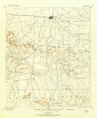
1890 · Abilene
USGS Topo · 1:125,000
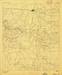
1892 · Abilene
USGS Topo · 1:125,000
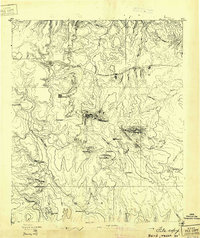
1931 · Baird
USGS Topo · 1:125,000
1932 · Baird
USGS Topo · 1:125,000

1954 · Abilene
USGS Topo · 1:250,000
1957 · Kirby Lake
USGS Topo · 1:62,500

1958 · Abilene
USGS Topo · 1:250,000
1960 · Crooked Creek
USGS Topo · 1:24,000
1966 · Cub Hollow
USGS Topo · 1:24,000
1967 · McEwen Draw
USGS Topo · 1:24,000