
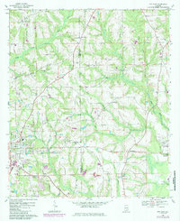
1968 Map of Opp East
USGS Topo · Published 1971About this map
The eastern reaches of Opp and the surrounding agricultural hinterland of Covington and Coffee Counties are captured here in the late 1960s. The landscape is defined by the winding paths of Pond Creek and Hays Creek, which cut through a series of ridges and basins. The southern edge of the map shows the industrial and logistical footprint of the Louisville and Nashville railroad as it passes through Blairs and Duvall.
Find a feature on this map
40 named features on this map. Tap any name to fly to it.
Don’t see what you’re looking for? This feature index may not catch every label — zoom into the map to look around manually.
Map Details
Editions of this 1968 Opp East Map
2 editions found
Other maps of this area

1953 · Andalusia
USGS Topo · 1:250,000

1957 · Andalusia
USGS Topo · 1:250,000

1968 · Danleys Crossroads
USGS Topo · 1:24,000
1968 · Ino
USGS Topo · 1:24,000
1968 · Sellersville
USGS Topo · 1:24,000
1968 · Elba
USGS Topo · 1:24,000
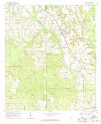
1969 · Kinston
USGS Topo · 1:24,000

1971 · Dozier
USGS Topo · 1:24,000

1971 · Onycha
USGS Topo · 1:24,000
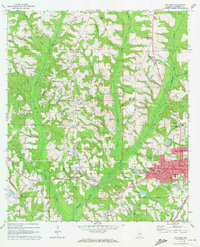
1971 · Opp West
USGS Topo · 1:24,000