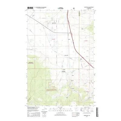
2017 Map of Opportunity
USGS Topo · Published 2017About this map
Fairmont Hot Springs and the surrounding mountain valley define this landscape at the border of Deer Lodge and Silver Bow counties. The high-desert terrain is marked by a complex network of water management and natural drainage, including the Yellow Ditch and the winding course of Silver Bow Creek. Small settlements and historic junctions like Crackerville, Gregson, and Opportunity are linked by Old Hwy 10A, reflecting the corridor's long-standing role as a vital transit route between regional centers.
Find a feature on this map
65 named features on this map. Tap any name to fly to it.
Don’t see what you’re looking for? This feature index may not catch every label — zoom into the map to look around manually.
Map Details
Editions of this 2017 Opportunity Map
This is the sole edition of this map. No revisions or reprints were ever made.
Other maps of this area

1889 · Helena
USGS Topo · 1:250,000

1893 · Helena
USGS Topo · 1:250,000

1893 · Dillon
USGS Topo · 1:250,000

1899 · Helena
USGS Topo · 1:250,000

1903 · Helena
USGS Topo · 1:250,000

1947 · Butte
USGS Topo · 1:250,000

1955 · Dillon
USGS Topo · 1:250,000

1957 · Dillon
USGS Topo · 1:250,000

1958 · Butte
USGS Topo · 1:250,000

1958 · Dillon
USGS Topo · 1:250,000