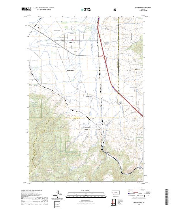
2024 Map of Opportunity
USGS Topo · Published 2024About this map
The Deerlodge National Forest covers the southern elevations of this Montana landscape, where the Boulder Mountains rise above a valley defined by the winding course of Silver Bow Creek. Settlement patterns here reflect the transition from agricultural tracts to the industrial outskirts of Anaconda, with the planned streets of Opportunity and the small communities of Stuart and Finlen scattered along the transport corridor. Historical transit routes such as Old Hwy 10A and the Frontage Rd parallel the waterways, connecting the larger towns to rural enclaves. Near the center of the sheet, the presence of Fairmont Hot Springs and Gregson points to a legacy of recreation and geologic interest within the Deer Lodge and Silver Bow county border region. Local history is further preserved at the Anaconda Catholic Cem and Sunset Memorial Gardens.
Find a feature on this map
68 named features on this map. Tap any name to fly to it.
Don’t see what you’re looking for? This feature index may not catch every label — zoom into the map to look around manually.
Map Details
Editions of this 2024 Opportunity Map
This is the sole edition of this map. No revisions or reprints were ever made.
Other maps of this area

1889 · Helena
USGS Topo · 1:250,000

1893 · Helena
USGS Topo · 1:250,000

1893 · Dillon
USGS Topo · 1:250,000

1899 · Helena
USGS Topo · 1:250,000

1903 · Helena
USGS Topo · 1:250,000

1947 · Butte
USGS Topo · 1:250,000

1955 · Dillon
USGS Topo · 1:250,000

1957 · Dillon
USGS Topo · 1:250,000

1958 · Butte
USGS Topo · 1:250,000

1958 · Dillon
USGS Topo · 1:250,000