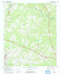
1969 Map of Ora
USGS Topo · Published 1992About this map
The Enoree River winds along the northern boundary of this Laurens County landscape, defining the border with Spartanburg County in a region marked by agricultural roots and emerging industry. During the late 1960s, the terrain was transitioning from traditional farming to industrial uses, evidenced by several Strip Mine operations and Tailings Ponds near the Seaboard Coast Line tracks. Settlement patterns are largely concentrated around rural crossroads and rail corridors, with small communities like Ora, Tylersville, and Wattsville serving as local hubs.
Find a feature on this map
44 named features on this map. Tap any name to fly to it.
Don’t see what you’re looking for? This feature index may not catch every label — zoom into the map to look around manually.
Map Details
Editions of this 1969 Ora Map
2 editions found

Other maps of this area

1892 · Abbeville
USGS Topo · 1:125,000

1941 · Spartanburg
USGS Topo · 1:250,000

1953 · Spartanburg
USGS Topo · 1:250,000

1954 · Greenville
USGS Topo · 1:250,000

1957 · Fountain Inn
USGS Topo · 1:62,500

1958 · Greenville
USGS Topo · 1:250,000

1960 · Spartanburg
USGS Topo · 1:250,000

1963 · Spartanburg
USGS Topo · 1:250,000

1964 · Spartanburg
USGS Topo · 1:250,000

1969 · Cross Anchor
USGS Topo · 1:24,000