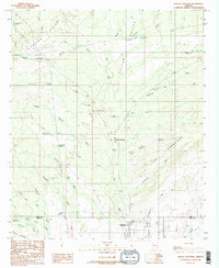
1988 Map of Oracle Junction
USGS Topo · Published 1989About this map
Oracle Junction serves as the focal point of this late 1980s landscape at the boundary of Pinal and Pima counties. The area is defined by a complex drainage system flowing through Falcon Valley, where numerous washes like Big Wash and Suizo Wash cross the desert floor between the Falcon Divide and The Cordones. The settlement of Catalina shows established street grids in the southern portion of the sheet, reflecting the suburban expansion into the desert north of Tucson. High-tension infrastructure is prominent throughout, marked by transmission lines and a Substation.
Find a feature on this map
57 named features on this map. Tap any name to fly to it.
Don’t see what you’re looking for? This feature index may not catch every label — zoom into the map to look around manually.
Map Details
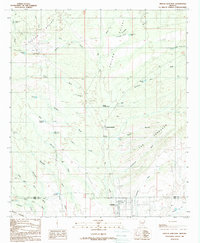
Editions of this 1988 Oracle Junction Map
2 editions found
Other maps of this area

1904 · Tucson
USGS Topo · 1:125,000

1905 · Tucson
USGS Topo · 1:125,000

1911 · Winkelman
USGS Topo · 1:125,000

1913 · Winkelman
USGS Topo · 1:125,000

1934 · Tucson Mountains
USGS Topo · 1:125,000

1934 · Newman Peak
USGS Topo · 1:125,000

1947 · Cortaro
USGS Topo · 1:62,500

1956 · Tucson
USGS Topo · 1:250,000

1957 · Cortaro
USGS Topo · 1:62,500
1957 · Mount Lemmon
USGS Topo · 1:62,500