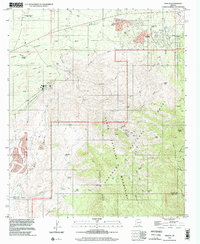
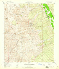
1996 Map of Oracle
USGS Topo · Published 2002About this map
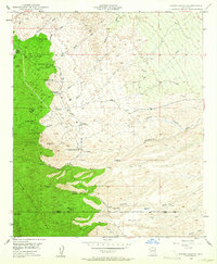
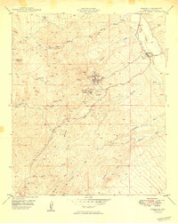
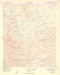
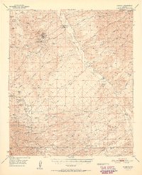
The community of Oracle serves as the focal point for this survey, situated on the northern slopes of the Santa Catalina Mountains. The landscape transitions from the developed areas of Alto Hill and the Middle Sch down toward the complex drainage systems of Big Wash and Copper Hill Wash. A significant portion of the terrain is dedicated to the Coronado National Forest, where steep elevations like Apache Peak and Rice Peak dominate the eastern view.
Find a feature on this map
42 named features on this map. Tap any name to fly to it.
Don’t see what you’re looking for? This feature index may not catch every label — zoom into the map to look around manually.
Map Details
Editions of this 1996 Oracle Map
This is the sole edition of this map. No revisions or reprints were ever made.
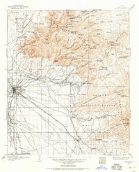
Other maps of this area
1904 · Tucson
USGS Topo · 1:125,000
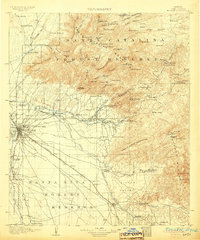
1905 · Tucson
USGS Topo · 1:125,000

1911 · Winkelman
USGS Topo · 1:125,000

1913 · Winkelman
USGS Topo · 1:125,000
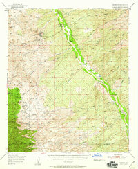
1948 · Mammoth
USGS Topo · 1:62,500
1948 · Mammoth
USGS Topo · 1:24,000
1948 · Campo Bonito
USGS Topo · 1:24,000
1949 · Mammoth
USGS Topo · 1:24,000
1949 · Campo Bonito
USGS Topo · 1:24,000
1951 · Mammoth
USGS Topo · 1:62,500