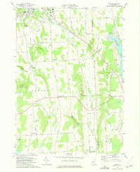
1973 Map of Oran
USGS Topo · Published 1975About this map
The village of Manlius and the surrounding township of Pompey define this Central New York landscape as it appeared in the early 1970s. The terrain is notably dissected by deep ravines known as gulfs, including Hatch Gulf, Brown Gulf, and the uniquely named Cheese Factory Gulf. These geological features influenced the winding paths of local roads like Estey Road and Delphi Road. Evidence of the region's educational and cultural history is visible at the Manlius Sch and the Indian Hill Memorial, while the western edge of Cazenovia Lake touches the eastern boundary. Smaller rural hubs such as Oran, Watervale, and Pompey Center are connected by an Old Railroad Grade and the waters of Limestone Creek. This map documents a transitional period when established agrarian settlements and crossroads like Clough Corners were increasingly accompanied by modern additions like a Ski Area and the Wallbridge Landing Strip.
Find a feature on this map
56 named features on this map. Tap any name to fly to it.
Don’t see what you’re looking for? This feature index may not catch every label — zoom into the map to look around manually.
Map Details
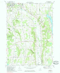
Editions of this 1973 Oran Map
2 editions found
Other maps of this area

1895 · Chittenango
USGS Topo · 1:62,500

1895 · Syracuse
USGS Topo · 1:62,500

1897 · Cazenovia
USGS Topo · 1:62,500

1898 · Syracuse
USGS Topo · 1:62,500

1898 · Chittenango
USGS Topo · 1:62,500

1899 · Cazenovia
USGS Topo · 1:62,500

1900 · Tully
USGS Topo · 1:62,500

1902 · Chittenango
USGS Topo · 1:62,500

1938 · Syracuse East
USGS Topo · 1:24,000

1942 · Oran
USGS Topo · 1:24,000