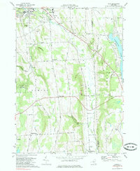
1973 Map of Oran
USGS Topo · Published 1985About this map
Limestone Creek carves a path through this section of Onondaga County, defining a landscape marked by dramatic falls and rural hamlets in the early 1970s. The village of Manlius sits at the northern edge, where Edwards Falls and Brickyard Falls indicate the steep descent of the local waterways. Moving south into the township of Pompey, the map reveals a series of historic crossroads and family-named landmarks including Pompey Center, Hills Corners, and Clough Corners.
Find a feature on this map
52 named features on this map. Tap any name to fly to it.
Don’t see what you’re looking for? This feature index may not catch every label — zoom into the map to look around manually.
Map Details
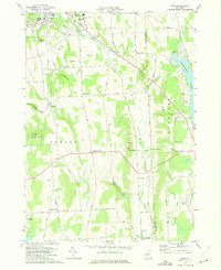
Editions of this 1973 Oran Map
2 editions found
Other maps of this area

1895 · Chittenango
USGS Topo · 1:62,500

1895 · Syracuse
USGS Topo · 1:62,500

1897 · Cazenovia
USGS Topo · 1:62,500

1898 · Syracuse
USGS Topo · 1:62,500

1898 · Chittenango
USGS Topo · 1:62,500

1899 · Cazenovia
USGS Topo · 1:62,500

1900 · Tully
USGS Topo · 1:62,500

1902 · Chittenango
USGS Topo · 1:62,500

1938 · Syracuse East
USGS Topo · 1:24,000

1942 · Oran
USGS Topo · 1:24,000