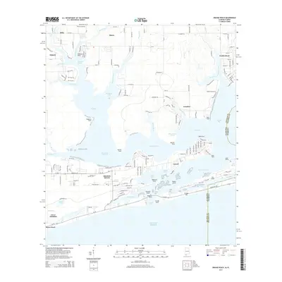
2014 Map of Orange Beach
USGS Topo · Published 2014About this map
Orange Beach and Gulf Shores anchor this coastal landscape, illustrating the modern development of Alabama's Pleasure Island. The intricate geography of the Gulf Coast is on full display, where the Intracoastal Waterway connects Wolf Bay and Arnica Bay, separating the mainland from the barrier peninsulas. To the east, the residential expansion onto Ono Island and the cluster of communities at Caswell and Perdido Beach show how the region has evolved from its maritime roots into a premier residential and educational hub, marked by the presence of Columbia Southern University.
Find a feature on this map
171 named features on this map. Tap any name to fly to it.
Don’t see what you’re looking for? This feature index may not catch every label — zoom into the map to look around manually.
Map Details
Editions of this 2014 Orange Beach Map
This is the sole edition of this map. No revisions or reprints were ever made.
Other maps of this area

1921 · Bon Secour
USGS Topo · 1:62,500

1921 · Fort Barrancas
USGS Topo · 1:62,500

1941 · Fort Barrancas
USGS Topo · 1:62,500

1941 · Foley
USGS Topo · 1:62,500

1943 · Fort Barrancas
USGS Topo · 1:62,500

1943 · Foley
USGS Topo · 1:62,500

1944 · Perdido Bay North
USGS Topo · 1:25,000

1944 · Miflin
USGS Topo · 1:25,000

1944 · Perdido Bay South
USGS Topo · 1:25,000

1957 · Pensacola
USGS Topo · 1:250,000