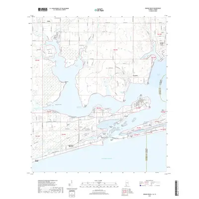
2018 Map of Orange Beach
USGS Topo · Published 2018About this map
Orange Beach and its surrounding coastal communities are shown here in 2018, situated where the Alabama shoreline meets the Florida state line. The landscape is defined by the complex aquatic network of Perdido Bay and the Gulf of Mexico, joined by Perdido Pass. Developed waterfronts and residential grids stretch along Cotton Bayou and the Intracoastal Waterway, while inland areas like Miflin and Josephine maintain a more rural character. The map details important local landmarks such as Columbia Southern University and the chain of islands protecting the back bays, including Robinson Island and Walker Island. On the eastern edge, the settlement of Perdido Beach sits across from Ono Island, illustrating the dense coastal development and navigable channels that support the region's maritime economy and residential growth.
Find a feature on this map
90 named features on this map. Tap any name to fly to it.
Don’t see what you’re looking for? This feature index may not catch every label — zoom into the map to look around manually.
Map Details
Editions of this 2018 Orange Beach Map
This is the sole edition of this map. No revisions or reprints were ever made.
Other maps of this area

1921 · Bon Secour
USGS Topo · 1:62,500

1921 · Fort Barrancas
USGS Topo · 1:62,500

1941 · Fort Barrancas
USGS Topo · 1:62,500

1941 · Foley
USGS Topo · 1:62,500

1943 · Fort Barrancas
USGS Topo · 1:62,500

1943 · Foley
USGS Topo · 1:62,500

1944 · Perdido Bay North
USGS Topo · 1:25,000

1944 · Miflin
USGS Topo · 1:25,000

1944 · Perdido Bay South
USGS Topo · 1:25,000

1957 · Pensacola
USGS Topo · 1:250,000