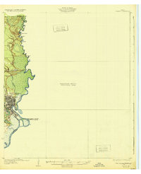
1932 Map of Orange
USGS Topo · Published 1932About this map
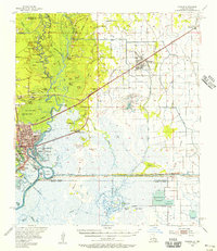
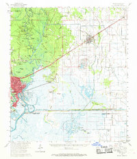
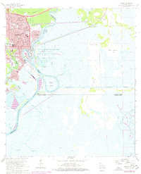
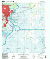
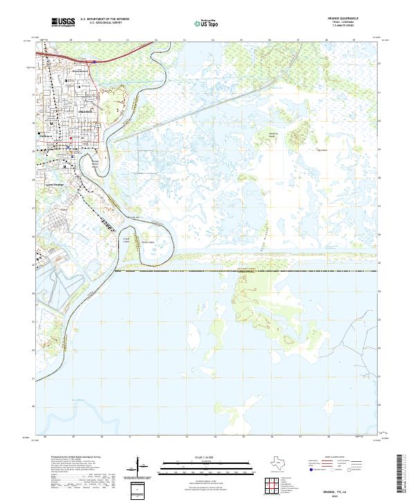
The Orange riverfront and the winding Sabine River dominate this 1932 topographic survey, which also serves as a Preliminary Edition for the surrounding marshes. The city is depicted with a detailed street grid along the river's edge, reflecting its development as a critical Gulf Coast timber and industrial hub. North of the city, the landscape transitions into a complex network of waterways and elevated points such as Morgan Bluff, Puett Bluff, and West Bluff. These features, along with Holden Slough and Grubs L, illustrate the intricate drainage patterns of the Texas-Louisiana borderlands.
Find a feature on this map
16 named features on this map. Tap any name to fly to it.
Don’t see what you’re looking for? This feature index may not catch every label — zoom into the map to look around manually.
Map Details
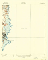
Editions of this 1932 Orange Map
2 editions found
Historical Maps of Orange Through Time
6 maps found