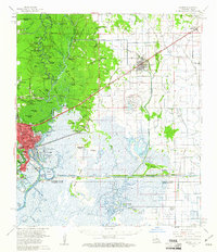
1960 Map of Orange
USGS Topo · Published 1961About this map
The Sabine River serves as the focal point for this 1960 survey, marking the border between Texas and Louisiana. The city of Orange is shown at a period of industrial growth, featuring a Turning Basin and complex water networks including Cove Bayou and the Intracoastal Waterway. To the east in Louisiana, the agricultural and oil landscape of Calcasieu Parish is evident near Vinton and Edgerly.
Find a feature on this map
89 named features on this map. Tap any name to fly to it.
Don’t see what you’re looking for? This feature index may not catch every label — zoom into the map to look around manually.
Map Details
Editions of this 1960 Orange Map
2 editions found
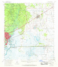
Other maps of this area

1926 · Mauriceville
USGS Topo · 1:24,000

1932 · Orange
USGS Topo · 1:62,500

1932 · Port Arthur NE
USGS Topo · 1:31,680

1934 · Greens Bayou
USGS Topo · 1:24,000

1934 · Browns Lake
USGS Topo · 1:24,000

1934 · Five Lakes
USGS Topo · 1:24,000

1935 · Five Lakes
USGS Topo · 1:31,680

1935 · Browns Lake
USGS Topo · 1:31,680

1935 · Greens Bayou
USGS Topo · 1:31,680

1943 · West of Greens Bayou
USGS Topo · 1:24,000