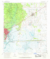
1960 Map of Orange
USGS Topo · Published 1968About this map
The Sabine River serves as the focal point for this landscape, marking the border between Texas and Louisiana. In the 1960s, the city of Orange flourished at the river's bend, where the Turning Basin and Intracostal Waterway underscore the importance of maritime commerce. The map reveals a complex water-bound geography of islands and bluffs, including Grubs Island and Pruitt Bluff, alongside industrial developments like the Vinton Oil Field and the Orange Oil Field. Rural life is documented through numerous family-named landmarks such as Reed Cem, Granger Cem, and local institutions like Colburn Sch. To the east in Louisiana, the Southern Pacific railroad connects the settlements of Vinton and Edgerly, cutting through a terrain of gullies and bayous like Quicksand Gully and Guilty Bayou, reflecting an era of heavy industry and small-town growth.
Find a feature on this map
91 named features on this map. Tap any name to fly to it.
Don’t see what you’re looking for? This feature index may not catch every label — zoom into the map to look around manually.
Map Details
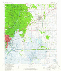
Editions of this 1960 Orange Map
2 editions found
Other maps of this area

1926 · Mauriceville
USGS Topo · 1:24,000

1932 · Orange
USGS Topo · 1:62,500

1932 · Port Arthur NE
USGS Topo · 1:31,680

1934 · Greens Bayou
USGS Topo · 1:24,000

1934 · Browns Lake
USGS Topo · 1:24,000

1934 · Five Lakes
USGS Topo · 1:24,000

1935 · Five Lakes
USGS Topo · 1:31,680

1935 · Browns Lake
USGS Topo · 1:31,680

1935 · Greens Bayou
USGS Topo · 1:31,680

1943 · West of Greens Bayou
USGS Topo · 1:24,000