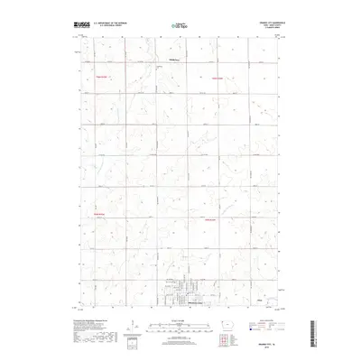
2018 Map of Orange City
USGS Topo · Published 2018About this map
Orange City serves as the primary hub of this Sioux County landscape, characterized by a structured grid of rural roads and the meandering courses of the W Br Floyd River and Floyd River. The town of Alton sits at the southeastern edge of the survey, while the smaller settlement of Middleburg occupies the northern reaches. This 2018 data provides a precise look at the township divisions between T96N and T95N, showing how local transit is defined by a rigorous network of county roads like Co Hwy B40 and Co Hwy B50. For those tracing local heritage, the map clearly identifies established burial grounds such as West Lawn Cem near the city center and Middleburg Cem to the north, which remain as tangible connections to the area's early residents. The geography is further detailed by drainage features like the Orange City Slough, illustrating the natural water management of this agricultural region.
Find a feature on this map
32 named features on this map. Tap any name to fly to it.
Don’t see what you’re looking for? This feature index may not catch every label — zoom into the map to look around manually.
Map Details
Editions of this 2018 Orange City Map
This is the sole edition of this map. No revisions or reprints were ever made.
Other maps of this area

1954 · Fairmont
USGS Topo · 1:250,000

1954 · Fort Dodge
USGS Topo · 1:250,000

1955 · Sioux City
USGS Topo · 1:250,000

1955 · Sioux Falls
USGS Topo · 1:250,000

1957 · Fort Dodge
USGS Topo · 1:250,000

1958 · Sioux City
USGS Topo · 1:250,000

1958 · Sioux Falls
USGS Topo · 1:250,000

1958 · Fort Dodge
USGS Topo · 1:250,000

1958 · Fairmont
USGS Topo · 1:250,000

1959 · Sioux City
USGS Topo · 1:250,000