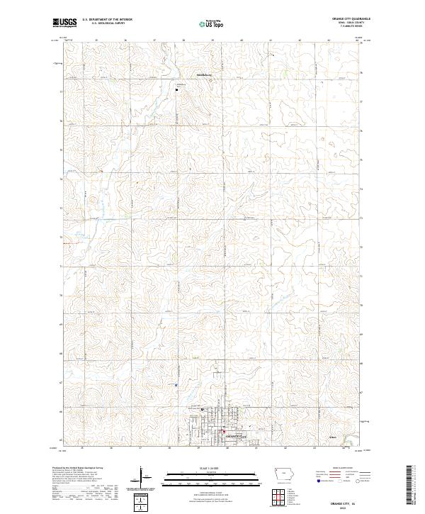
2022 Map of Orange City
USGS Topo · Published 2022About this map
Orange City serves as the focal point of this Sioux County survey, showing the grid-based development of the community alongside the neighboring settlement of Alton. The landscape is defined by the agricultural section lines typical of the region, bisected by the W Br Floyd River in the northwest and the Orange City Slough winding toward the city center. For those researching local heritage, the map identifies significant landmarks including West Lawn Cem on the edge of the city and the smaller settlement of Middleburg to the north, accompanied by Middleburg Cem. The street network reflects a mixture of rural county roads and named municipal avenues such as Central Ave N and Michigan Ave SW, illustrating the town's growth into the surrounding township lands of T95N and T96N.
Find a feature on this map
46 named features on this map. Tap any name to fly to it.
Don’t see what you’re looking for? This feature index may not catch every label — zoom into the map to look around manually.
Map Details
Editions of this 2022 Orange City Map
This is the sole edition of this map. No revisions or reprints were ever made.
Other maps of this area

1954 · Fairmont
USGS Topo · 1:250,000

1954 · Fort Dodge
USGS Topo · 1:250,000

1955 · Sioux City
USGS Topo · 1:250,000

1955 · Sioux Falls
USGS Topo · 1:250,000

1957 · Fort Dodge
USGS Topo · 1:250,000

1958 · Sioux City
USGS Topo · 1:250,000

1958 · Sioux Falls
USGS Topo · 1:250,000

1958 · Fort Dodge
USGS Topo · 1:250,000

1958 · Fairmont
USGS Topo · 1:250,000

1959 · Sioux City
USGS Topo · 1:250,000