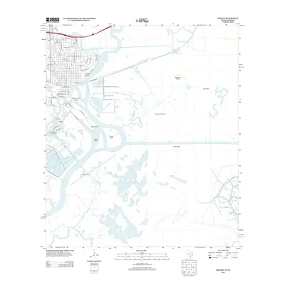
2013 Map of Orange
USGS Topo · Published 2013About this map
The Sabine River dominates this coastal borderland, winding past industrial sites and marshy reaches southeast of the Cove neighborhood. The urban center of Orange is well-defined, anchored by institutional landmarks such as Lamar State College-Orange and a cluster of historic burial grounds including Evergreen Cem, Hollywood Cem, and Hebrew Cem. This 2013 survey illustrates the heavy intersection of industry and environment, with the Phoenix Lake Oil Field and Phoenix Lake Gas Field positioned among the intricate waterways of the delta.
Find a feature on this map
57 named features on this map. Tap any name to fly to it.
Don’t see what you’re looking for? This feature index may not catch every label — zoom into the map to look around manually.
Map Details
Editions of this 2013 Orange Map
This is the sole edition of this map. No revisions or reprints were ever made.
Other maps of this area

1926 · Mauriceville
USGS Topo · 1:24,000

1932 · Orange
USGS Topo · 1:62,500

1932 · Port Arthur NE
USGS Topo · 1:31,680

1934 · Greens Bayou
USGS Topo · 1:24,000

1934 · Five Lakes
USGS Topo · 1:24,000

1935 · Five Lakes
USGS Topo · 1:31,680

1935 · Greens Bayou
USGS Topo · 1:31,680

1943 · West of Greens Bayou
USGS Topo · 1:24,000

1943 · Orangefield
USGS Topo · 1:24,000

1943 · Mauriceville
USGS Topo · 1:24,000