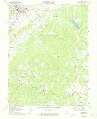
1970 Map of Orange
USGS Topo · Published 1972About this map
The town of Orange serves as a focal point in this 1970 revision, showcasing the intersection of the Southern and Chesapeake and Ohio railroads. This transit hub supports surrounding residential and industrial growth, including Prospect Heights and the local High School. Beyond the town limits, the landscape transitions into a network of small agricultural and rural communities such as Pierces Shop, Monrovia, and Madison Run, each tied to the land by numerous country churches including Little Zion Ch and Mt Horeb Ch.
Find a feature on this map
35 named features on this map. Tap any name to fly to it.
Don’t see what you’re looking for? This feature index may not catch every label — zoom into the map to look around manually.
Map Details
Editions of this 1970 Orange Map
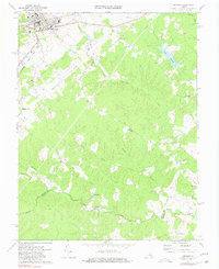
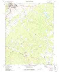
Other maps of this area

1887 · Spottsylvania
USGS Topo · 1:125,000

1892 · Spottsylvania
USGS Topo · 1:125,000

1892 · Gordonsville
USGS Topo · 1:125,000

1942 · Mineral
USGS Topo · 1:31,680

1942 · Lahore
USGS Topo · 1:31,680

1943 · Unionville
USGS Topo · 1:24,000
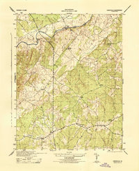
1944 · Unionville
USGS Topo · 1:31,680

1948 · Washington
USGS Topo · 1:250,000

1949 · Charlottesville
USGS Topo · 1:250,000

1956 · Charlottesville
USGS Topo · 1:250,000