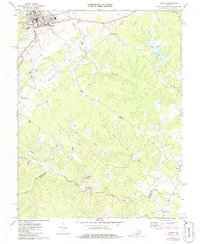
1970 Map of Orange
USGS Topo · Published 1984About this map
The town of Orange serves as a focal point in this 1970s landscape, where the Southern and Chesapeake and Ohio railroads converge at the heart of the community. Settlement patterns extend outward from the rail lines to smaller hamlets and family-named locales like Pierces Shop, Daniel, and Monrovia. The southern portion of the map is defined by the winding course of the North Anna River, which forms the boundary between Orange Co and Louisa Co.
Find a feature on this map
35 named features on this map. Tap any name to fly to it.
Don’t see what you’re looking for? This feature index may not catch every label — zoom into the map to look around manually.
Map Details
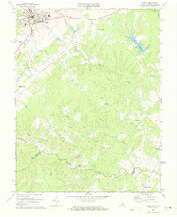
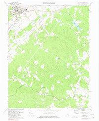
Editions of this 1970 Orange Map
Other maps of this area

1887 · Spottsylvania
USGS Topo · 1:125,000

1892 · Spottsylvania
USGS Topo · 1:125,000

1892 · Gordonsville
USGS Topo · 1:125,000

1942 · Mineral
USGS Topo · 1:31,680

1942 · Lahore
USGS Topo · 1:31,680

1943 · Unionville
USGS Topo · 1:24,000
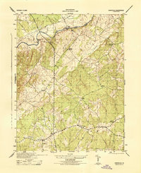
1944 · Unionville
USGS Topo · 1:31,680

1948 · Washington
USGS Topo · 1:250,000

1949 · Charlottesville
USGS Topo · 1:250,000

1956 · Charlottesville
USGS Topo · 1:250,000